This time of year you'll hear the term "sea breeze" thrown around quite a lot at the beach. Mid heat wave and weeks since the last good wind forecast, it's been what's keeping riders here in action.
Understanding a sea breeze is an important part of summer riding, when low pressure systems are few and far between. In this blog we take a brief look at what it is, when to expect one and how to make the most of it to maximise your session count.
What is a Sea breeze?
In simple terms it's a breeze blowing in from the sea. But unlike a regular "gradient wind" which is led by the movement of weather systems pushing across the Atlantic (you can read about those HERE), a seabreeze is a localised thermal wind caused by the difference in air pressure along the coastline on hot days.
What causes one?
On hot sunny days, after clear chilly evenings the land warms up as the day's heat builds. As it gets hotter the air begins rising upwards creating thermals, often identified by birds circling in them as they harness the energy to gain height.
This flow of upward air creates a lower air pressure at ground level.
Water heats up slower than land and so doesn't have the same rising effect, meaning that all along the coast by early afternoon a difference in air pressure causes the colder sea air to get drawn in to the land.
We feel the equalising as wind.

Is it predictable?
Some places in the world get a predictable thermal wind, often known as a trade wind.
When temperatures and weather patterns are consistent you can be confident in knowing what time arrives and how strong i will be.
Read about the Freemantle Doctor - for why wind sports are so popular in Western Australia.
Here in the UK our weather is famously variable so predicting a localised effect becomes slightly more challenging as we'll need to take a little more into consideration when reading a forecast.
How strong will it blow?
Again this depends on many variables, but here in the UK we expect a wind increase of between 5-10 knots in a seabreeze.
Whilst this might not be enough wind alone, when pushing together with a gradient wind it can regularly turn a "nearly enough" into an "session on".
What forecasts makes for a good seabreeze in the UK?
For the flow of air to start we need a significant difference in air pressure, so first and foremost that sun has got to be beaming from morning with minimal clouds in the sky.
Next, we're expecting the breeze to come in off the sea, so if if there's a gradient wind blowing an opposing direction it's going to take twice the energy and unlikely to become ride-able.
And remember, it's caused by pressure difference from the sea air being cold and the land getting suddenly hot, so hot muggy nights don't help, nor do warm late summer seas. In the UK this is generally an occasional May-August treat.

What are the signs?
Many locations around the world look for fresh fluffy clouds with dark bases which begin forming over the land late morning ahead of the sea breeze starting (Read about table mountain "table cloth" HERE). We're no different in the UK, clouds forming over land is a sign that the air is going up. So long as it's localised to the coastline and not spreading over the sea then there could be action in a few hours.
You'll generally know the action is about to start from a few signs:
1) The wind direction might switch suddenly change by up to 45 degrees as the thermal wind kicks in.
2) The temperature might drop a few degrees as the colder sea air starts pulling in.
3) If the breeze arrives and then those fresh clouds start moving out to sea, a circulation has begun. Now the land's risen air is being drawn back out to replace the sea air which pushed down and in, feeding itself into what will hopefully be somewhere between 2-6 hours of wind.

What else to know?
Don't forget it's localised, so likely to be different and and down the coast, not blowing at all a distance from the shore.
It's driven by heat, so as the day cools that thermal switches off, careful not to get caught out and have to swim back in the following land breeze...
Land breeze?
After a solid thermal sea breeze, as the day cools and the land temperature drops quickly the cycle reverses.
The wind direction switches and blows up to 180 degrees the other direction.

Local knowledge..
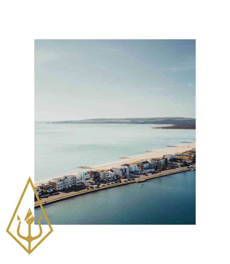
Poole's sea breeze blows in from the WSW and generally arrives around 2-3pm around 4-8 knots above the forecast when it's working. It generally holds until around 6.30pm and then drops without a land breeze. Unless the gradient wind is blowing from the North West, when the sea breeze will pick up more from the WSW and then gradually pull round to the NW and hold through the evening around 6-10 knots over the gradient forecast